Go back
R - Concept app helping drivers plan their next stop
Design
Quentin Guérandel
Dev
Quentin Guérandel
Impact
R is currently in active development: here are the metrics I am building toward and validating against.
Metric | Result |
|---|---|
Projected NPS | 70+ (focus group prototype testing) |
Time-to-decision | Under 30 sec |
Target reduction in decision friction | −75% vs. current behavior (road signs + gut feeling) |
Rest stops covered at launch | ~4,000 aires across France |
Usability test rounds completed | 3 iterative rounds |
Overview
R is a concept app designed to help drivers find and choose their ideal rest stop on the road, before they need one.
The idea emerged from a simple observation: highway stops are rarely chosen. They're endured. Drivers pull in out of necessity, not intent, armed with little more than a road sign and a gut feeling. R was built to change that, giving drivers the information they need, at the right moment, with zero added friction to their journey.
The project spans end-to-end UX research, product definition, and interface design. It is currently in development (SwiftUI for iOS, Jetpack Compose for Android), with a qualitative testing phase underway before the pre-MVP build.
Challenge
Early research highlighted a recurring insight:
"Stops are not chosen, they're endured."
Most drivers don't actively plan rest stops. They react to fatigue, hunger, or family needs, relying on road signs and timing rather than reliable information. Existing solutions offer limited or outdated data, often missing critical details such as pricing, crowd levels, or service quality.
Research combined a survey (50+ respondents), in-depth interviews, and journey mapping, revealing two main profiles:
The Practical → prioritizes speed and efficiency.
The Selective → willing to drive further for a better experience.
How might we help drivers anticipate their next stop and make confident decisions without adding friction to their journey?

Solution
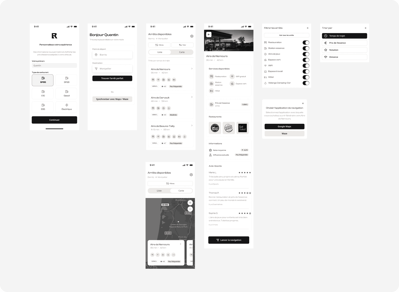
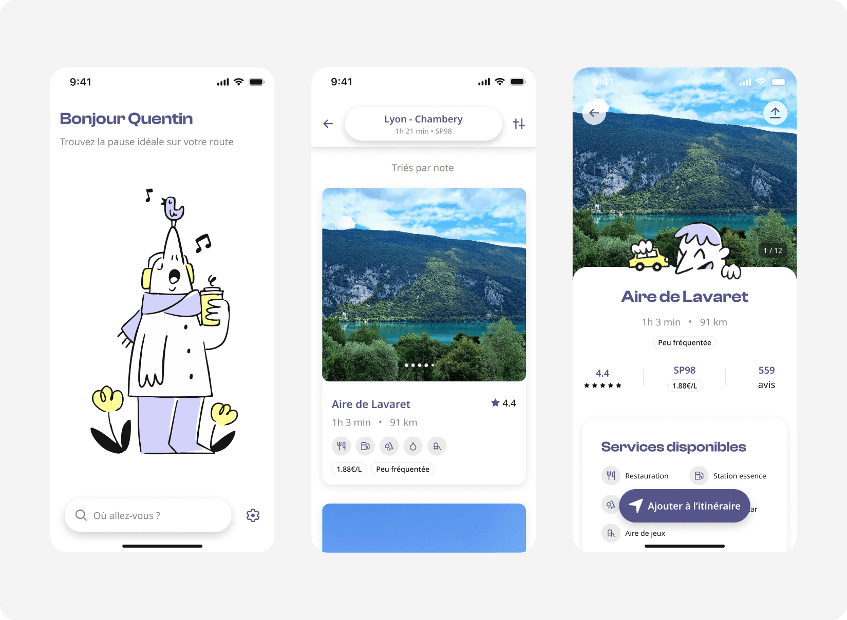
R surfaces the right stop at the right moment, not after the driver is already stressed, hungry, or low on fuel.
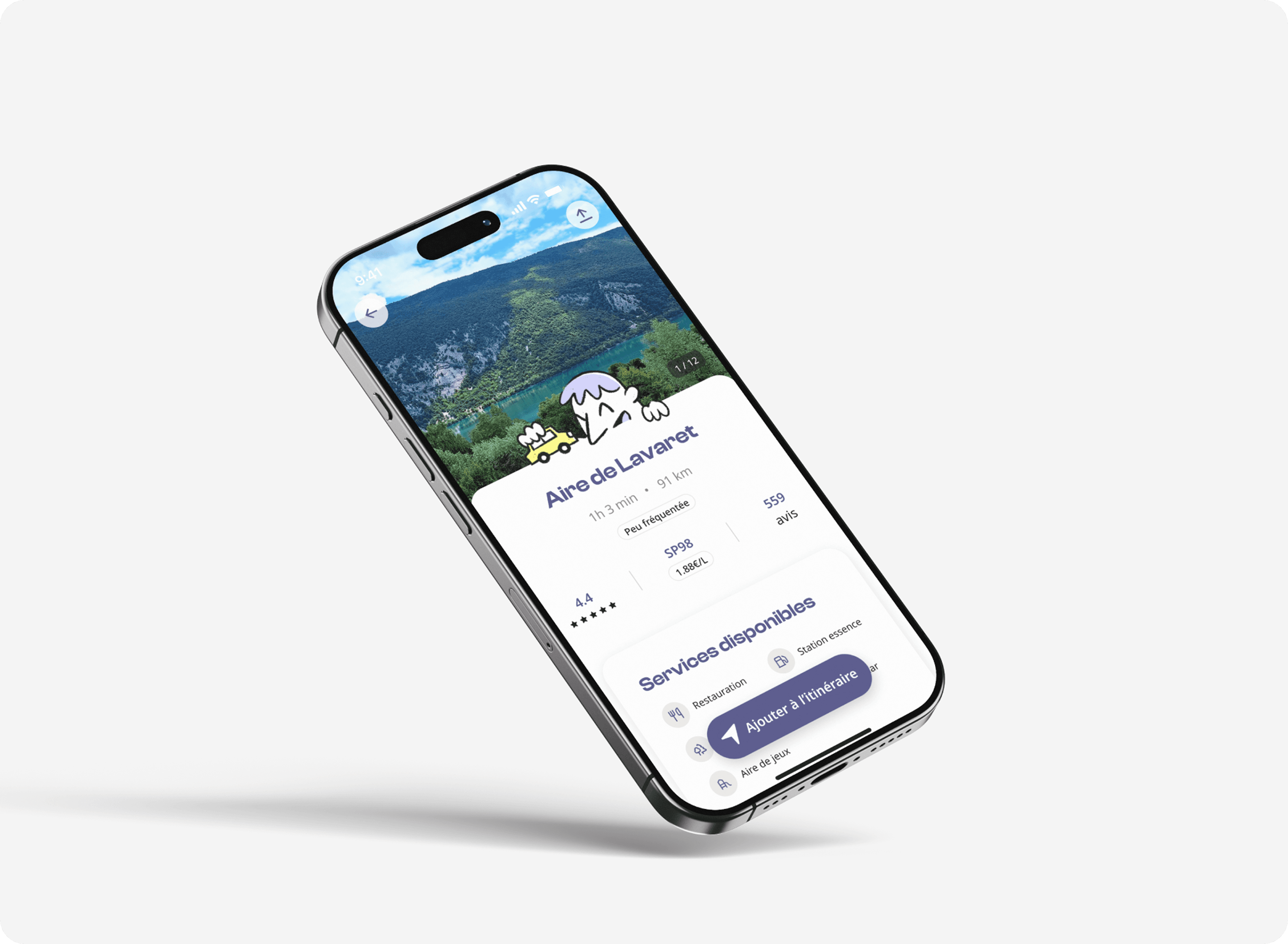
The app connects to the driver's active GPS route (via Waze or Google Maps) and displays upcoming rest areas ranked by their preferences: travel time, fuel price, rating, or distance. Each stop card shows real-time crowd levels, available services, fuel prices, and recent reviews: everything needed to make a confident decision in under 30 seconds.
Key design decisions:
GPS-first entry point → R detects an active route and pre-loads relevant stops without any manual input.
Two sorting profiles → the interface adapts to whether you're in a rush or looking for the best experience.
One-tap integration → "Add to route" sends the selected stop directly to Waze or Google Maps via deep link. R doesn't replace your GPS; it makes it smarter.
A first stable UI was validated through iterative usability testing, with a qualitative phase currently underway to assess clarity, usefulness, and comprehension across user profiles.